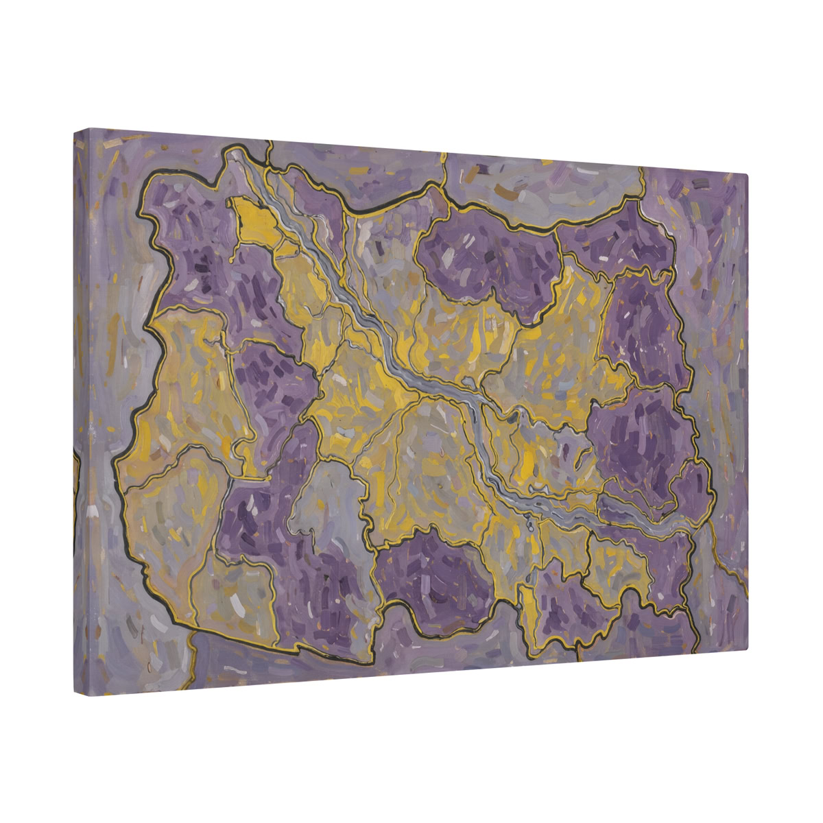
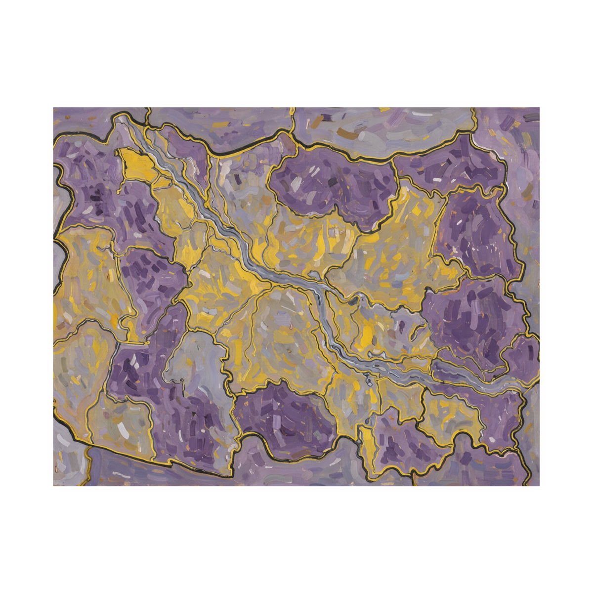
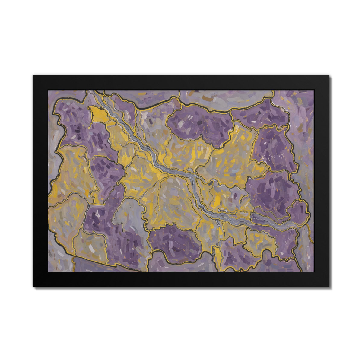
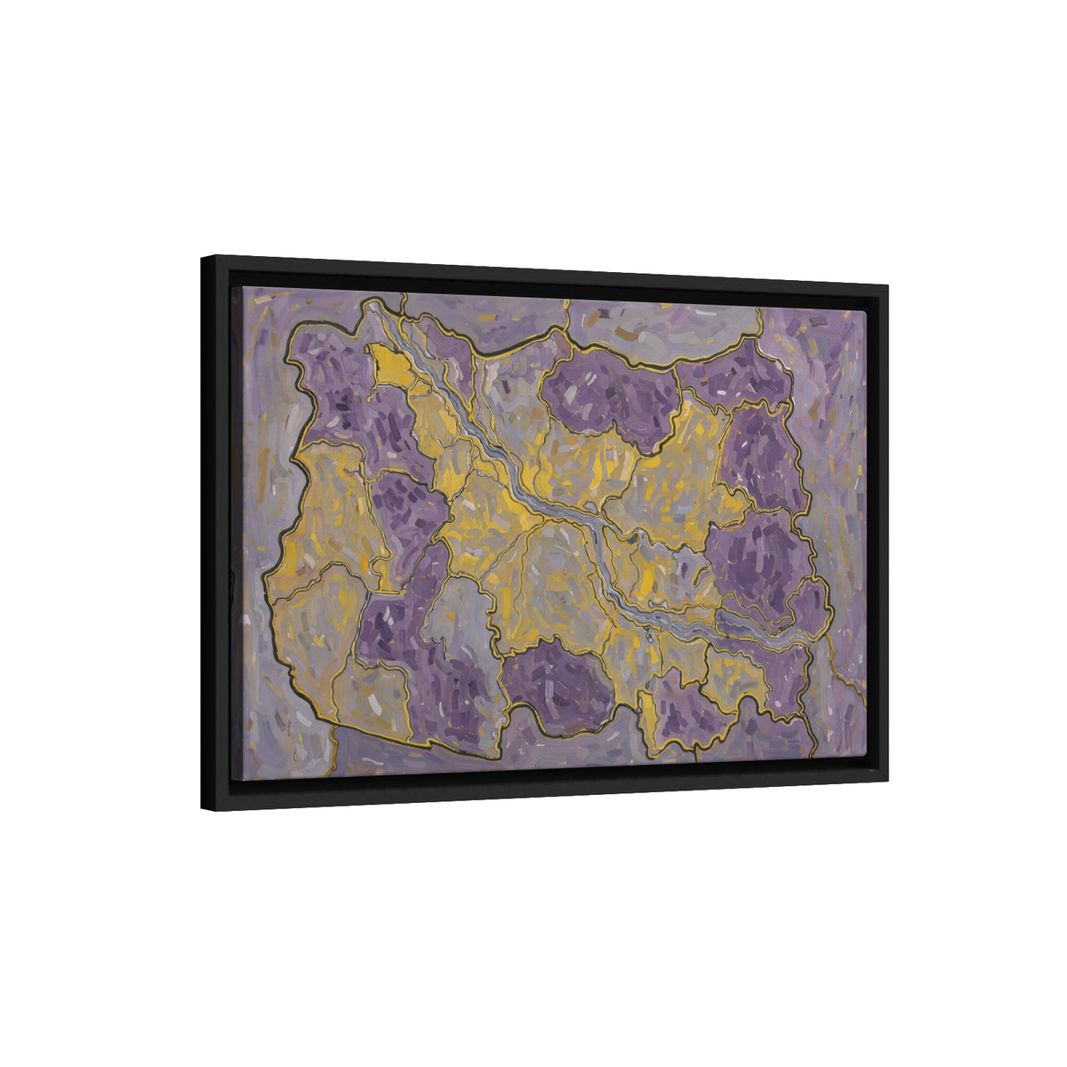
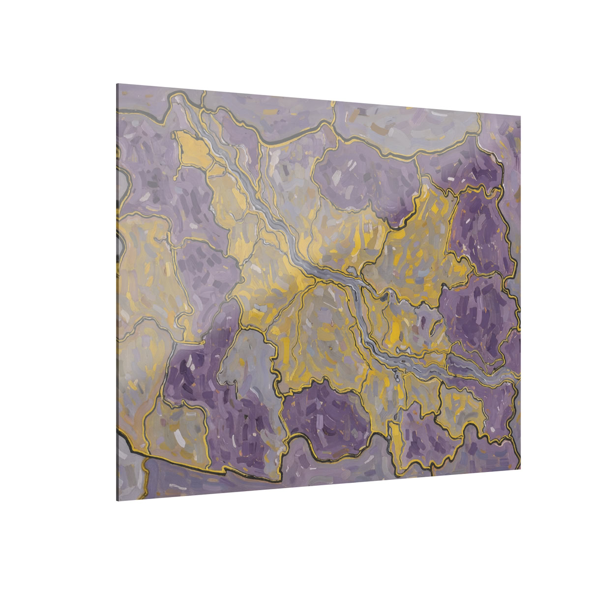
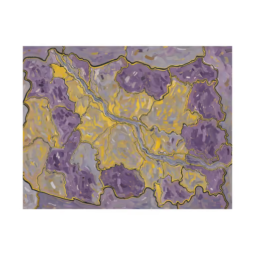
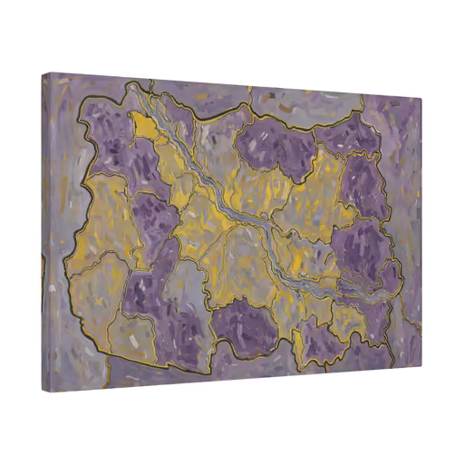
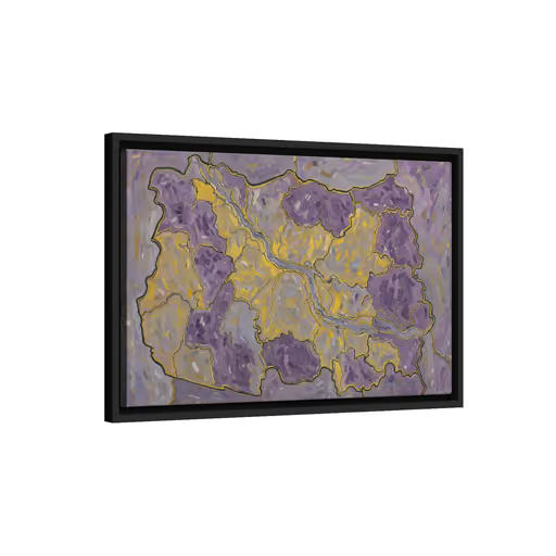
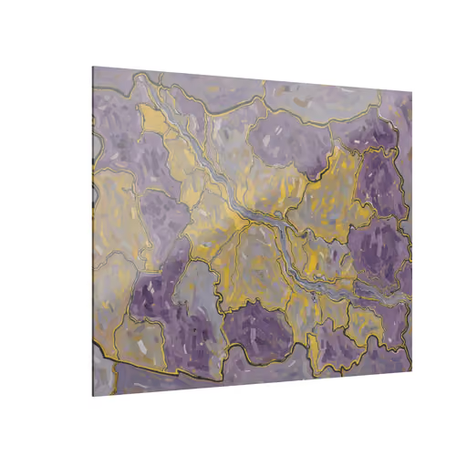
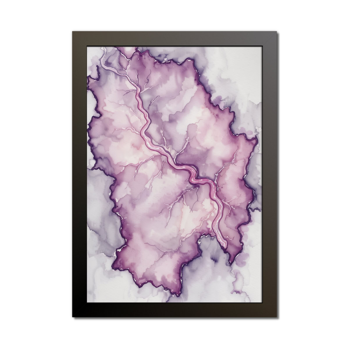
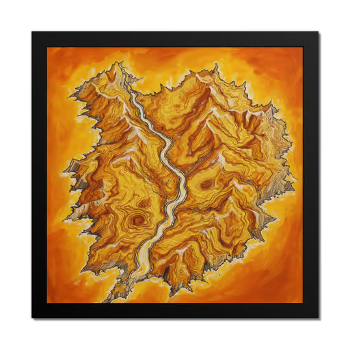
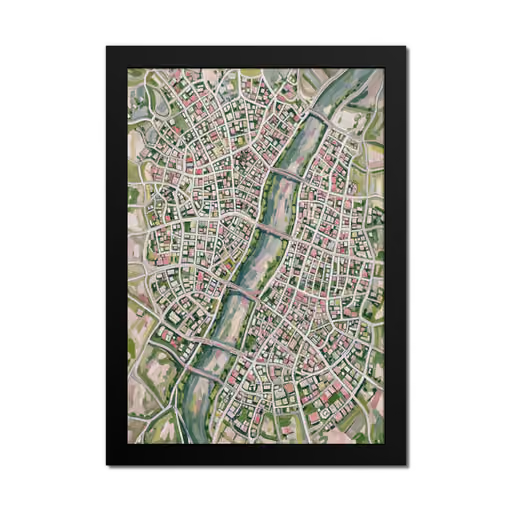
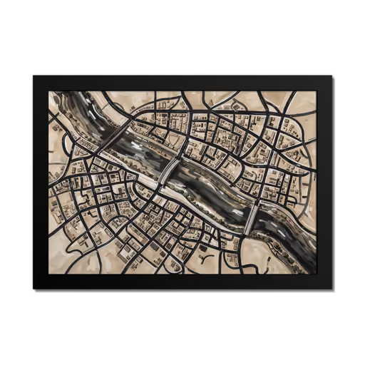
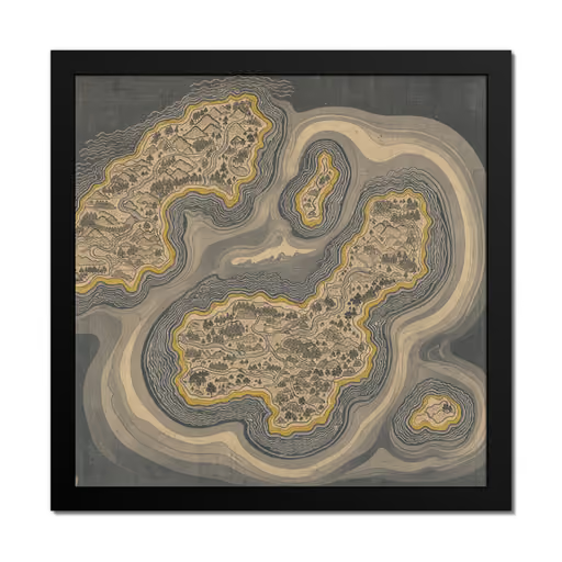
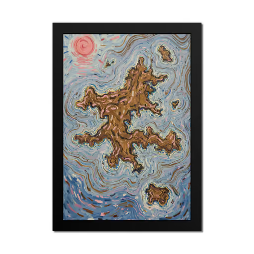
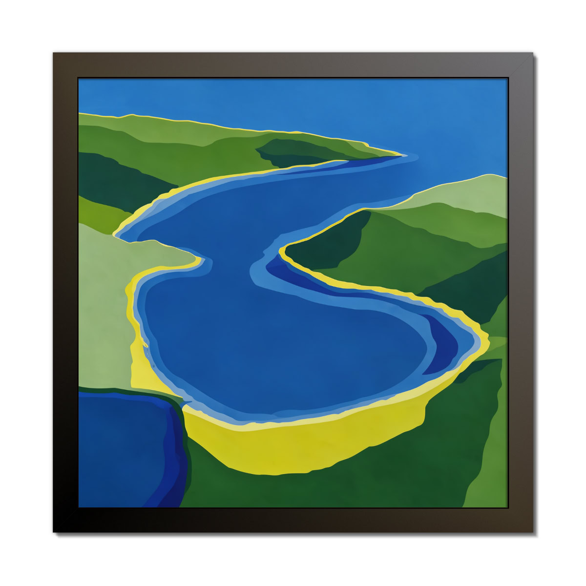
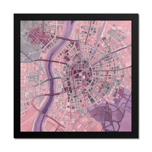
This digital composition presents a unique fusion of cartography and impressionist painting, depicting a fictional state map rendered entirely in color and texture. The piece fills the canvas with a bold, charcoal-gray outline defining the central territory, which is then filled with interlocking zones of purple, yellow, and gray. A winding river system, painted with short, directional strokes, cuts through the landscape, dividing the regions and adding a sense of movement to the static map.
| Subjects | invented state boundary mapMaps |
|---|
| Style inspiration | Impressionist-Inspired |
|---|
| Colors | Purple |
|---|
| Orientation | Landscape |
|---|